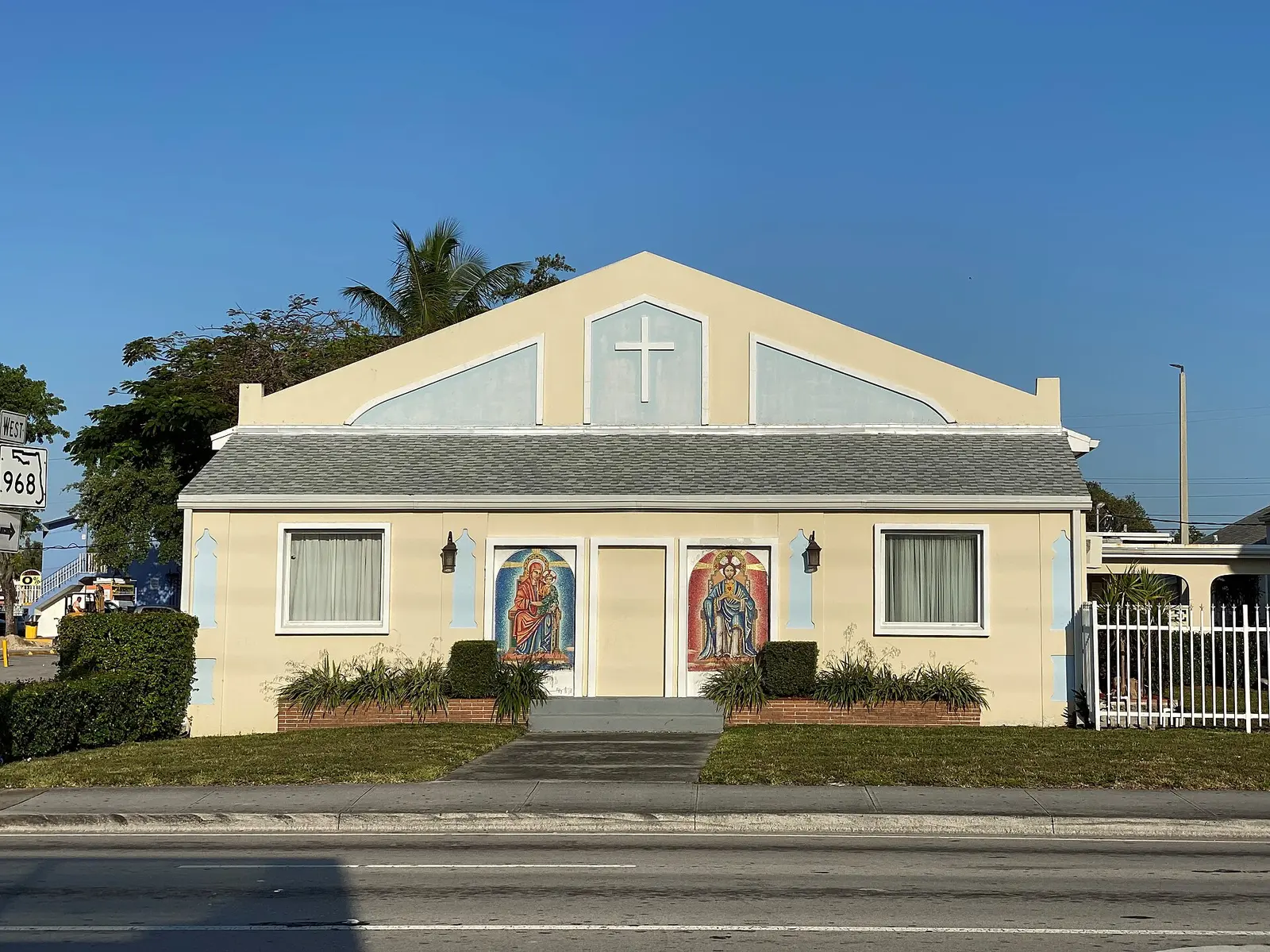
Flagami, west Miami between Tamiami Trail and the Dolphin Expressway, is about 3.6 miles by road from Miami International Airport.
Last checked Oct. 10, 2026. Sources: the City of Miami’s NET areas layer, neighborhoods layer and parks layer, Miami-Dade County’s open data (address points and school attendance boundaries), the Florida Department of Education’s 2026 school grades, Zillow Research, Miami-Dade Transit’s published schedule data and OpenStreetMap.
Flagami is the westernmost of the City of Miami’s 11 Neighborhood Enhancement Team (NET) areas, a long residential strip north of Tamiami Trail that ends near the airport. It has more county address points than any NET area except Coral Way, and the Dolphin Expressway runs along its northern edge.
What this means for you
- Zoned high school: split; South Miami Senior High for about 49% of addresses and Coral Gables Senior High for 30%, both B schools in Florida’s 2026 grades. Check yours with the district’s School Locator.
- Home value: $298,325 in ZIP 33126 and $619,779 in 33144 in August 2026, according to the Zillow Home Value Index.
- Nearest Metrorail: none inside the area; Douglas Road station is about 4.1 miles by road from its middle.
Part of our Miami neighborhoods guide.
Where it is
On the city’s NET map, Flagami runs roughly between Southwest Eighth Street (Tamiami Trail) on the south and the Dolphin Expressway (State Road 836) and the Tamiami Canal on the north, from the Grapeland Heights area near 37th Avenue west to the city line near 72nd Avenue. West Flagler Street and Northwest Seventh Street run through it east to west. Allapattah is across the expressway, and Coral Way and Little Havana are to the east. The city of West Miami and the Coral Gables city line border it on the south.
The city’s neighborhoods layer names four places inside it: Flagami, Auburndale, South Grapeland Heights and West Grapeland Heights. OpenStreetMap also marks Alameda.
Miami-Dade County’s address data puts about 35% of the area’s address points in ZIP code 33126, and about a fifth each in 33134, 33144 and 33125.
Schools
How the area’s county address points fall in Miami-Dade County Public Schools’ attendance boundary maps, with each school’s 2026 grade from the Florida Department of Education. The percentage in parentheses is the share of possible points the school earned.
| Level | School | Share of addresses | 2026 grade |
|---|---|---|---|
| Elementary | Fairlawn Elementary, 444 SW 60th Ave. (report card) | 29% | A (62%) |
| Elementary | Henry M. Flagler Elementary, 5222 NW First St. (report card) | 22% | B (58%) |
| Elementary | Kensington Park Elementary, 711 NW 30th Ave. (report card) | 21% | C (49%) |
| Elementary | Kinloch Park Elementary, 4275 NW First St. (report card) | 21% | B (55%) |
| Elementary | Flagami Elementary, 920 SW 76th Ave. (report card) | 5% | B (58%) |
| Middle | Kinloch Park Middle, 4340 NW Third St. (report card) | 70% | B (58%) |
| Middle | Citrus Grove Middle, 2153 NW Third St. (report card) | 21% | Not in the 2026 file |
| Middle | West Miami Middle, 7525 SW 24th St. (report card) | 9% | B (62%) |
| High | South Miami Senior High, 6856 SW 53rd St. (report card) | 49% | B (64%) |
| High | Coral Gables Senior High, 450 Bird Road, Coral Gables (report card) | 30% | B (62%) |
| High | Miami Senior High, 2450 SW First St. (report card) | 12% | A (68%) |
| High | Miami Jackson Senior High, 1751 NW 36th St. (report card) | 9% | B (61%) |
Flagami is split among four high school zones, more than any other NET area, so the street matters. Citrus Grove Middle has no row in the state’s 2026 grades file. Check the exact address with the School Locator. More in our schools guide.
Home values
From the Zillow Home Value Index for the ZIP codes that cover the area. The index is a modeled typical value for the middle third of homes, single-family homes and condos together, not a sale price, and each figure covers the whole ZIP code, not just this area. Zillow files 33134 under Coral Gables, where most of that ZIP code lies.
| ZIP code | Share of area addresses | Typical value, Aug. 2026 | Change on the year |
|---|---|---|---|
| 33126 | 35% | $298,325 | down 3.9% |
| 33134 | 23% | $883,278 | up 2.7% |
| 33144 | 21% | $619,779 | up 1.5% |
| 33125 | 21% | $462,144 | up 0.2% |
The citywide Miami figure was $580,866 in August 2026, up 0.8% on the year. More in our home prices guide.
Parks
From the city’s parks layer, inside the area:
- Robert King High Park, 7025 SW Eighth St., about 17 acres.
- West End Park, 6030 SW Second St., about 6 acres.
- Antonio Maceo Park, 5151 NW Seventh St.
- Kinloch Park, 455 NW 47th Ave.
- Bay of Pigs Memorial Park, 5665 SW Third St.
- Flagami Park, 7121 SW Third St.
More in our parks and trails guide.
Getting around
- Metrorail: no station inside the area. Douglas Road station is about 4.1 miles by road from its middle.
- Metrobus: routes 7, 8, 11, 27, 37, 42, 57, 73 and 211 stop inside the area, on Miami-Dade Transit’s schedule data. Routes 8 and 11 run toward downtown on Southwest Eighth Street and Flagler Street.
- Free trolley: the City of Miami Trolley’s Flagami and Little Havana routes stop here, and so does the Coral Gables Trolley.
- Miami International Airport: about 3.6 miles by road from the middle of the area. Downtown Miami (Government Center): about 5.2 miles.
- Distances are measured on the OpenStreetMap road network with the OSRM routing engine; they are distances, not drive times.
More in our getting around guide.
Groceries and everyday stores
From OpenStreetMap, inside the area:
- Publix, 5715 NW Seventh St.
- Sedano’s, 3801 W. Flagler St.; 6709 W. Flagler St.; and 4803 SW Eighth St.
- Walmart Neighborhood Market, 6991 SW Eighth St.
- CVS Pharmacy, 4801 and 5695 SW Eighth St.; 3695 W. Flagler St.; and 690 NW 57th Ave.
- Walgreens, 655 NW 57th Ave.
How we drew this area
This page uses the Flagami outline on the City of Miami’s NET areas layer. The city’s outlines are drawn for service districts, so they are coarse at the edges. Address shares and school zones come from every Miami-Dade County address point inside it, matched to the county’s attendance boundary layers on Oct. 10, 2026. Store locations are © OpenStreetMap contributors.
Frequently asked questions
Where is Flagami in Miami?
Flagami is the City of Miami’s westernmost NET area. On the city’s map it runs between Southwest Eighth Street (Tamiami Trail) on the south and the Dolphin Expressway and Tamiami Canal on the north, out to the city line near 72nd Avenue.
What high school is Flagami zoned for?
It is split. About 49% of the area’s county address points are zoned for South Miami Senior High, 30% for Coral Gables Senior High, 12% for Miami Senior High and 9% for Miami Jackson Senior High.
What ZIP codes are in Flagami?
33126, 33134, 33144 and 33125. Zillow’s typical home value in August 2026 was $298,325 in 33126 and $619,779 in 33144.
Is Flagami a good place to live?
Here are the facts. Flagami has Robert King High Park and five other city parks, nine Metrobus routes and the city’s free Flagami trolley route. It is about 3.6 miles by road from Miami International Airport and has no Metrorail station; the nearest is about four miles away.
Have your say